

The first landfall
Bimini is three islands and a scatter of cays, sitting on the western edge of the Great Bahama Bank. North Bimini and South Bimini hold most of the population, the marinas and the airport; East Bimini is quieter and largely undeveloped. For the first-time crosser, the destination is almost always one of two harbours on North Bimini.
As the depth sounder climbs from a thousand feet to fifty, the entrance channel becomes the priority. Bimini's approach is well-marked but unforgiving in cross-current; engines drop to idle, the chartplotter is checked against the visual markers, and the boat enters the inner waters at no-wake speed until the assigned slip is in sight. There is no urgency at this point. The crossing is done. What remains is the careful business of arrival.
Two anchorages — or, more accurately, two marina precincts — dominate first-time stays. The first is in front of the docks of the Big Game Club, in Alice Town, where the marina opens directly onto the village by tender. The second is at the northern end of the harbour, near Resorts World, the more recent resort and casino development. As with every Bahamian harbour, the anchor must be set firmly, and the strong tidal currents inside Bimini's port deserve continuous attention through the first night.
Once the boat is secured, one ritual precedes everything else. The yellow quarantine flag is hoisted, and only the captain steps ashore — with the documentation of every soul on board — to clear immigration and customs. The ritual is short, the paperwork uncomplicated, and the rest of the crew remains on the boat until clearance is granted. From that moment forward, the cruise has officially begun.
The morning go / no-go decision
A simplified map of the question tree that runs in the captain's head at dawn, before the lines come off the cleats and the bow turns east.
Forecast at 06:00.
Wind direction, sea state, swell period and the pressure trend, read from at least two sources. Local marine forecasts and offshore models, cross-checked, not chosen.
The wind question.
The single most important variable. North against the Stream is the disqualifying condition. Anything else is, at minimum, eligible for further reading.
The frontal question.
Cold fronts crossing the Florida peninsula change the picture within hours. A front inside the next twenty-four hours pulls the crossing back to the dock, regardless of the morning's calm.
Stand down.
The lines stay on the cleats. A delayed crossing is a normal one. The captain who learns this on the first trip will keep the boat — and the crew — for many trips after.
Hold and monitor.
Stay rigged for departure, watch the mid-morning forecasts, plan a window that opens later in the day. Many good crossings began at 11:00 rather than 07:00.
Depart.
Fuel topped, waypoints loaded, the autopilot tested at the dock. The boat leaves the inlet under full daylight and arrives in Bimini before the afternoon breeze fills.
A morning across the Stream
A first crossing reconstructed in seven moments, from the dock at Miami Beach to the immigration desk at Alice Town.
A visual passage across the crossing
 01 · The Crossing
Yacht in transit
01 · The Crossing
Yacht in transit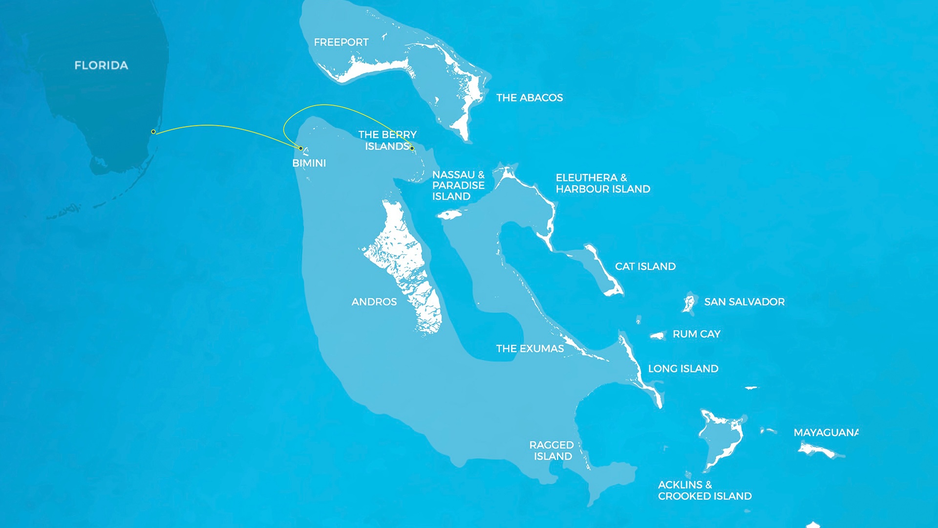 02 · Route Map
Miami → Bimini → Berries
02 · Route Map
Miami → Bimini → Berries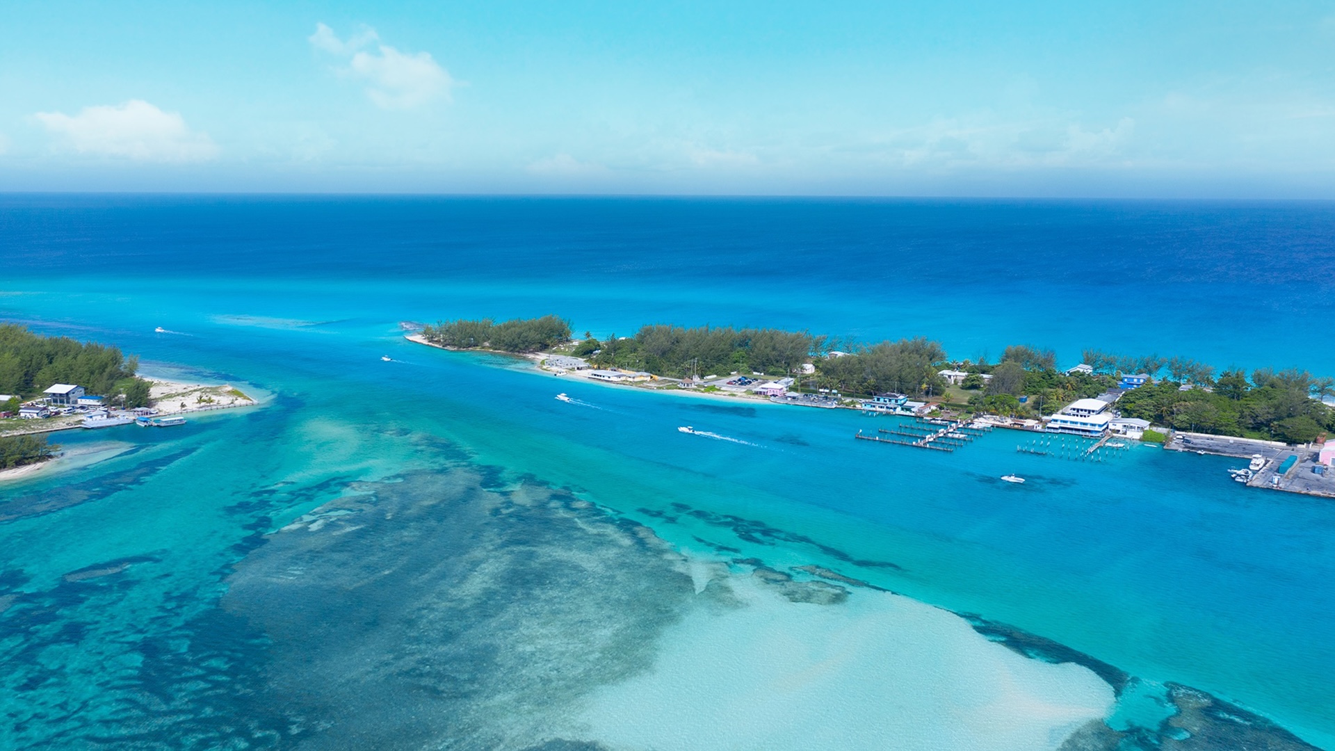 03 · Approach
Bimini channel · Aerial
03 · Approach
Bimini channel · Aerial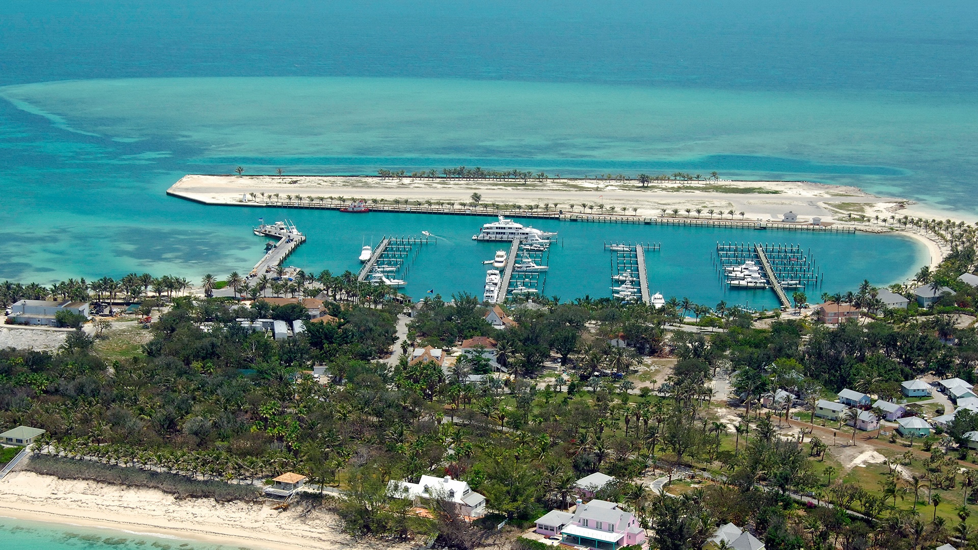 04 · Cat Cay
Southern alternative
04 · Cat Cay
Southern alternative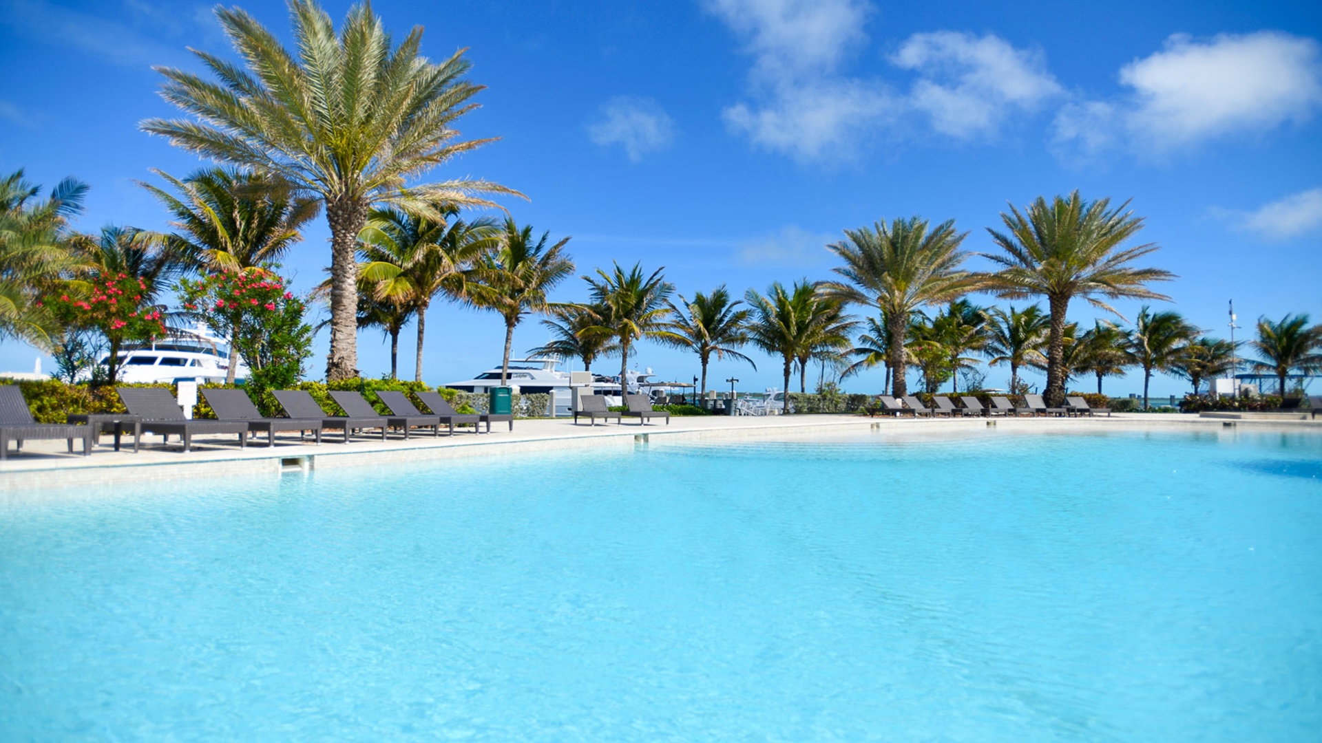 05 · Ashore
Marina pool
05 · Ashore
Marina pool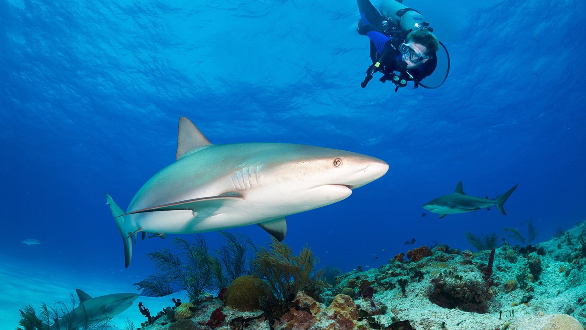 06 · Underwater
Sharks of Bimini
06 · Underwater
Sharks of Bimini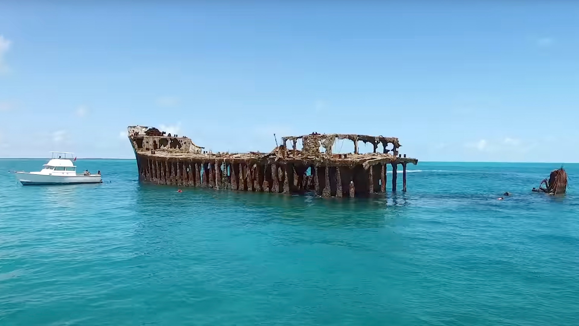 07 · The Sapona
Shallows wreck
07 · The Sapona
Shallows wreck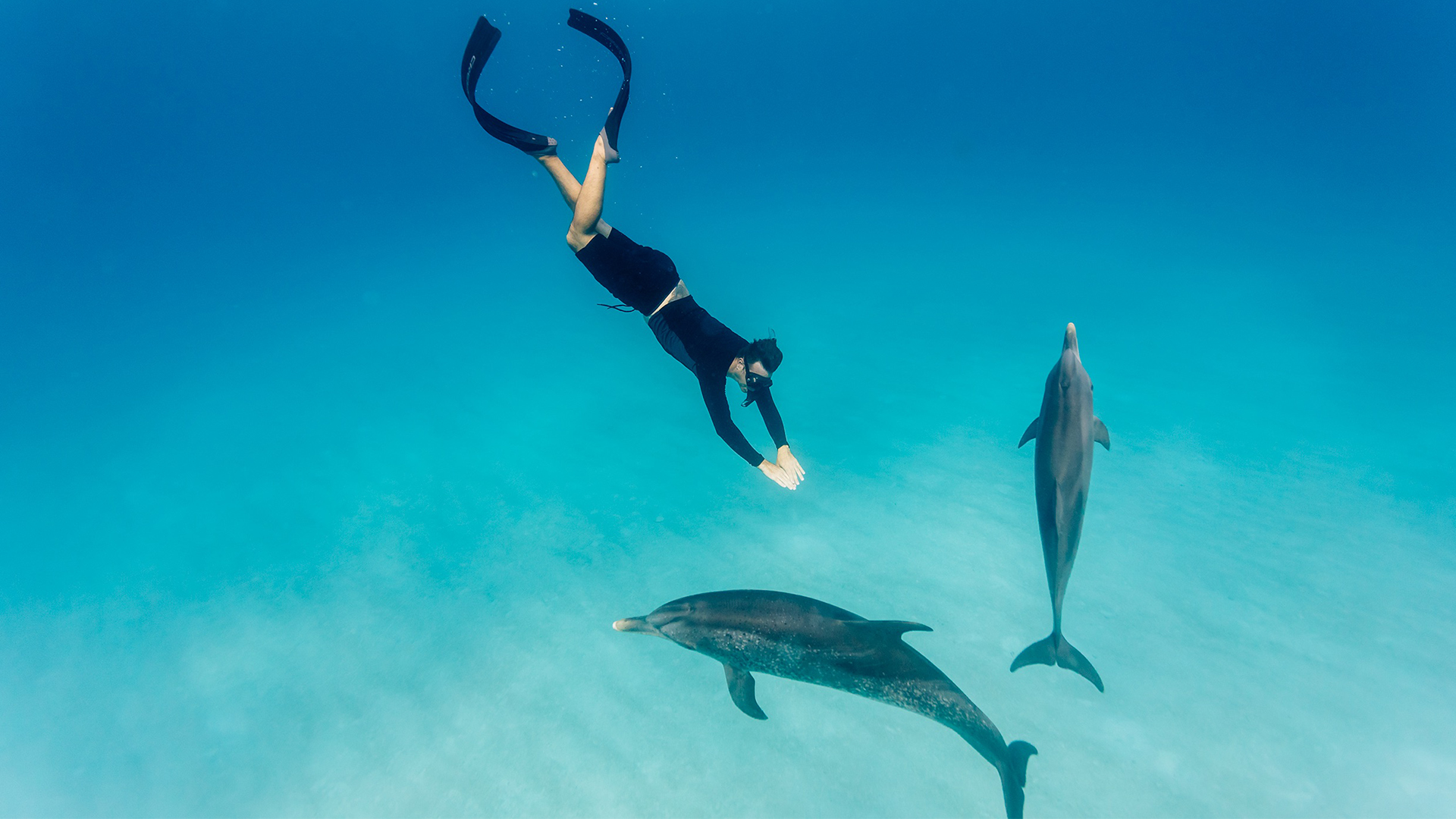 08 · Dolphins
Swimming the banks
08 · Dolphins
Swimming the banks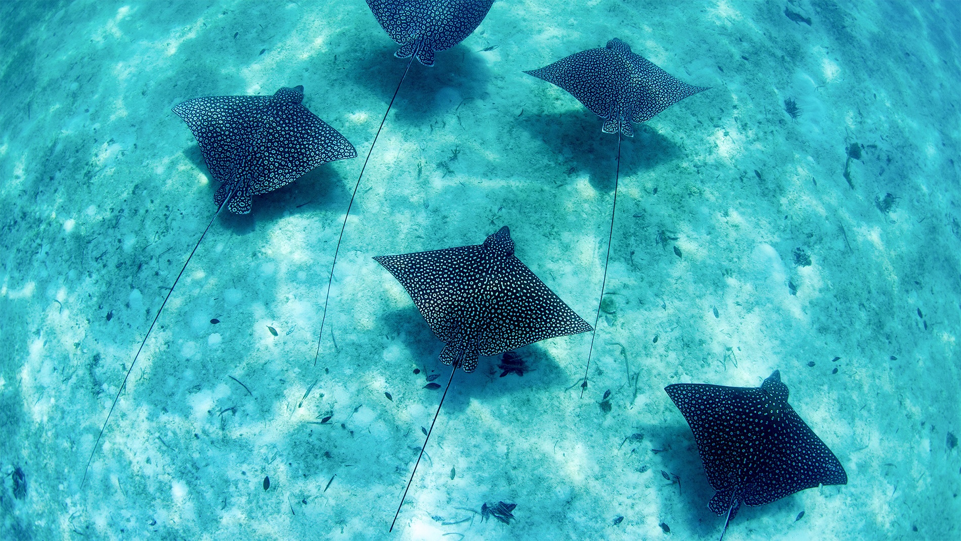 09 · Reef life
Eagle ray
09 · Reef life
Eagle ray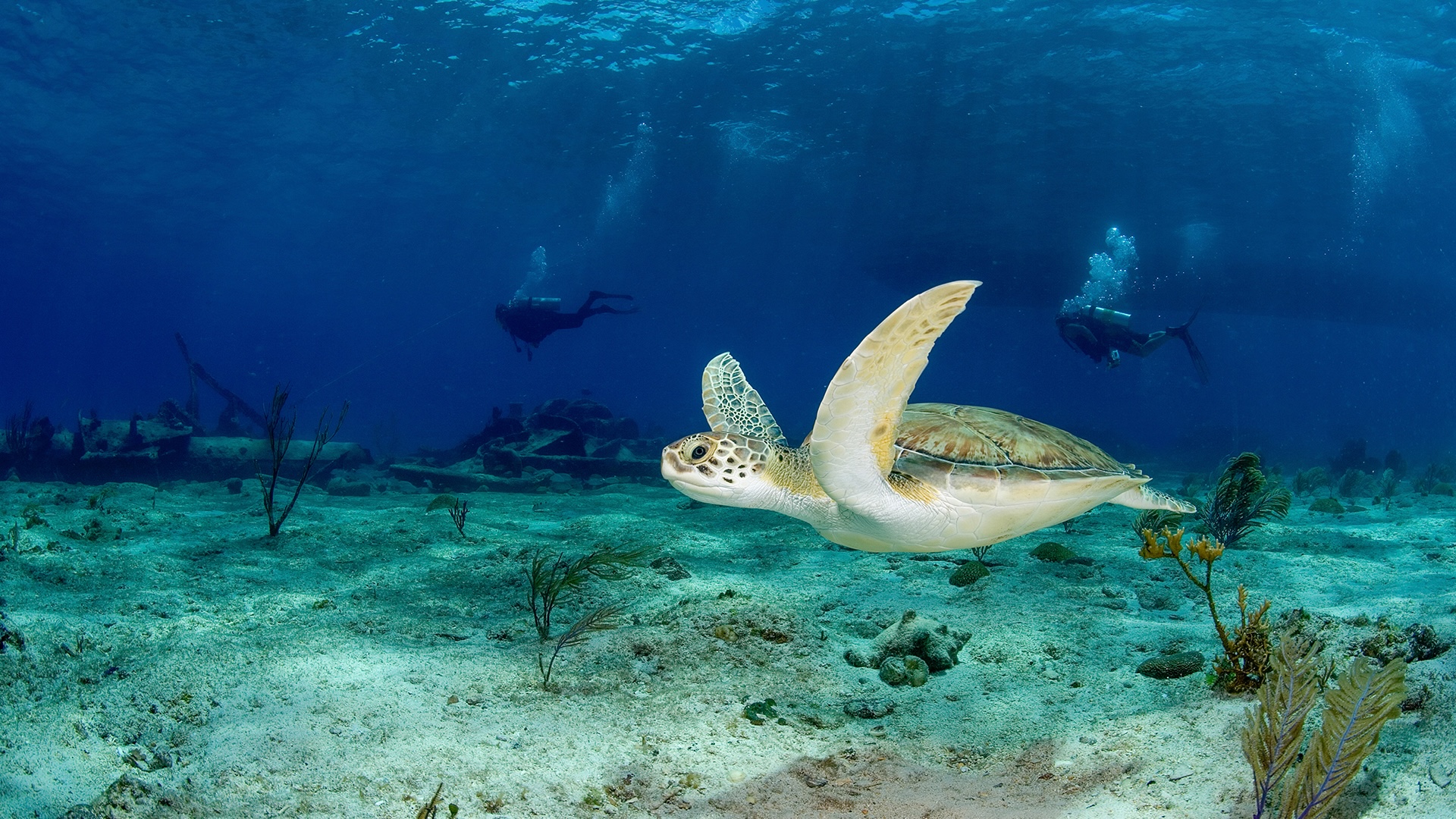 10 · Green turtle
In the shallows
10 · Green turtle
In the shallows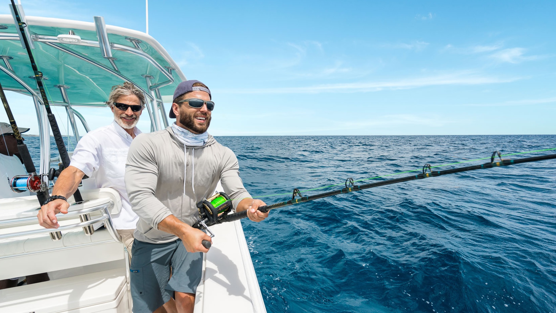 11 · Sport fishing
A morning offshore
11 · Sport fishing
A morning offshore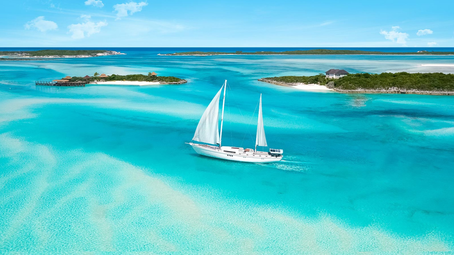 12 · Under sail
Among the islands
12 · Under sail
Among the islands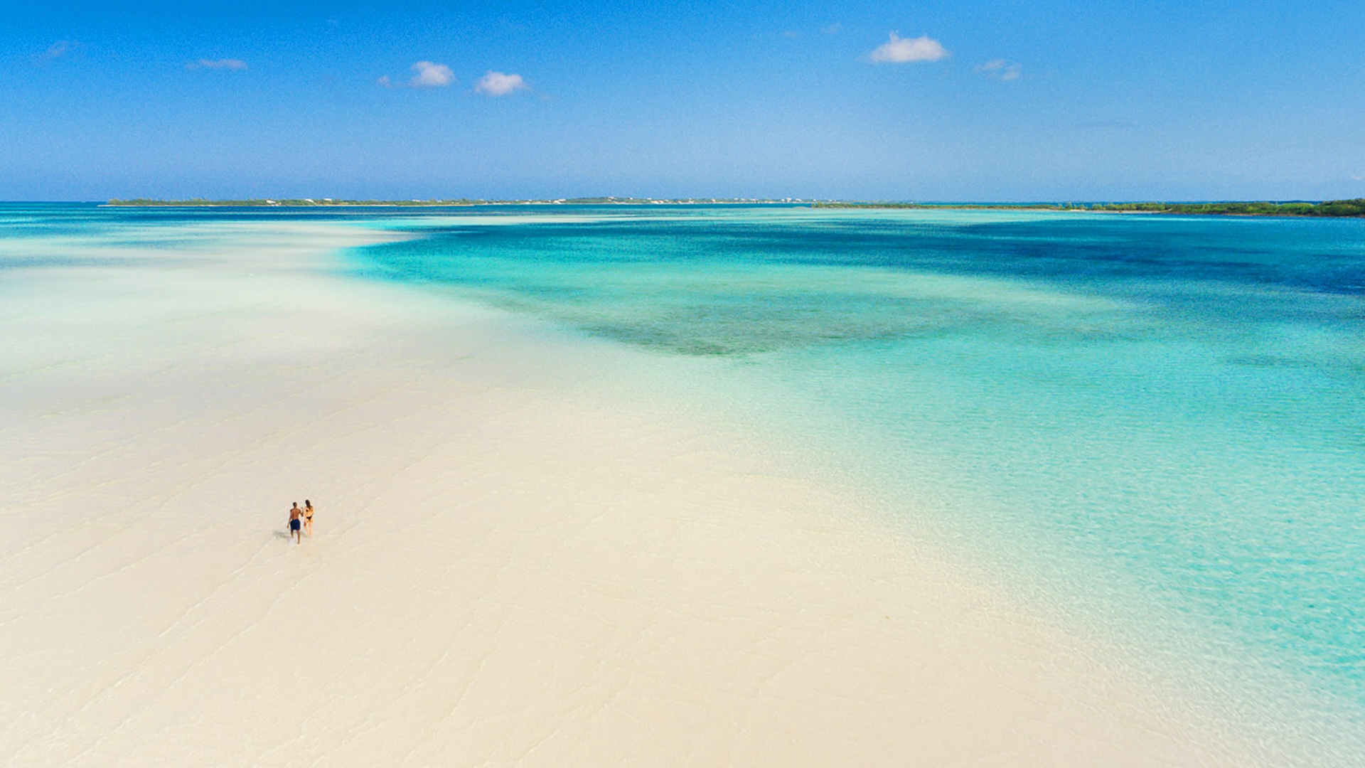 13 · The Bank
Sandbar from above
13 · The Bank
Sandbar from above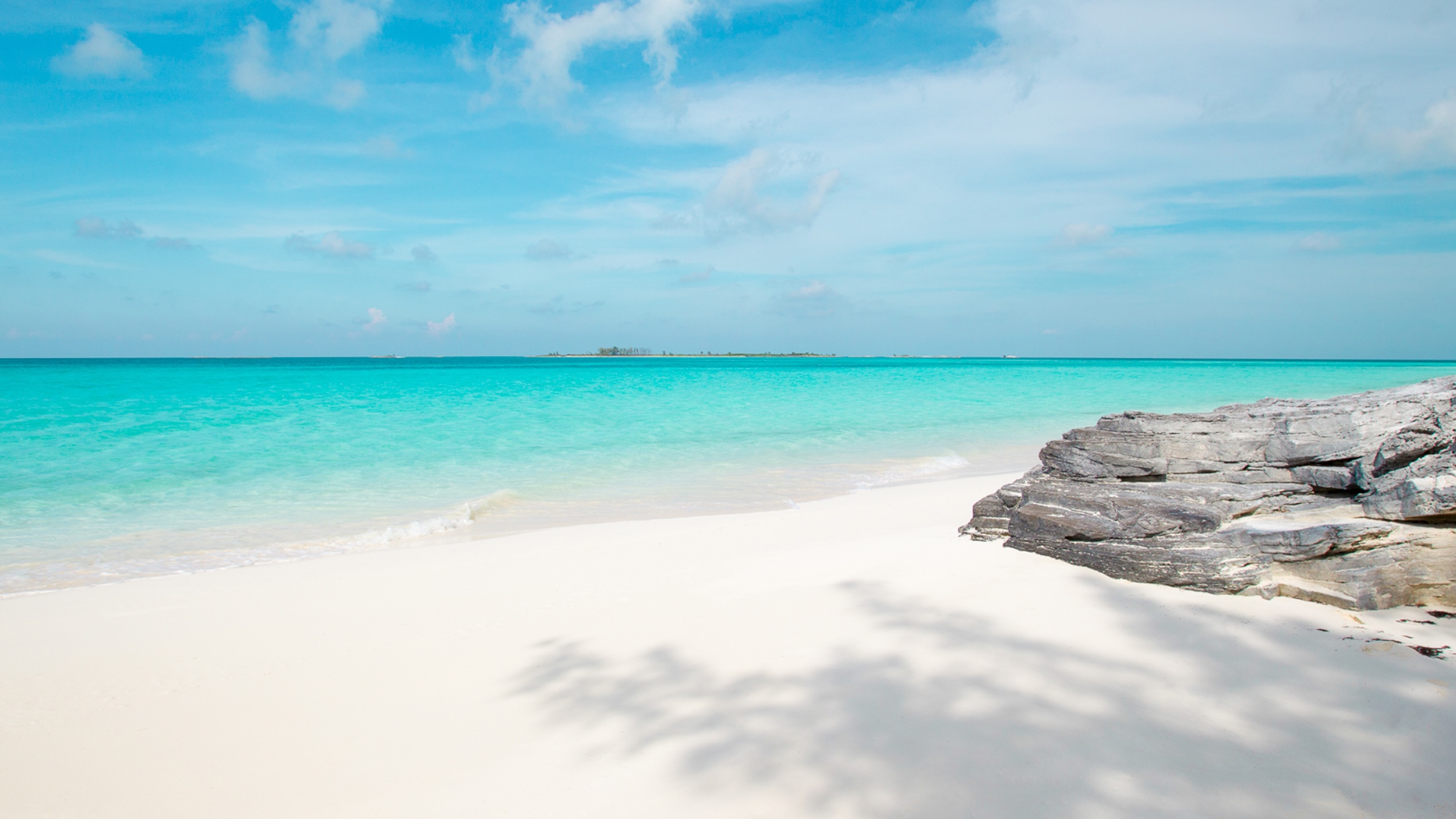 14 · The Berries
White sand · Turquoise
14 · The Berries
White sand · Turquoise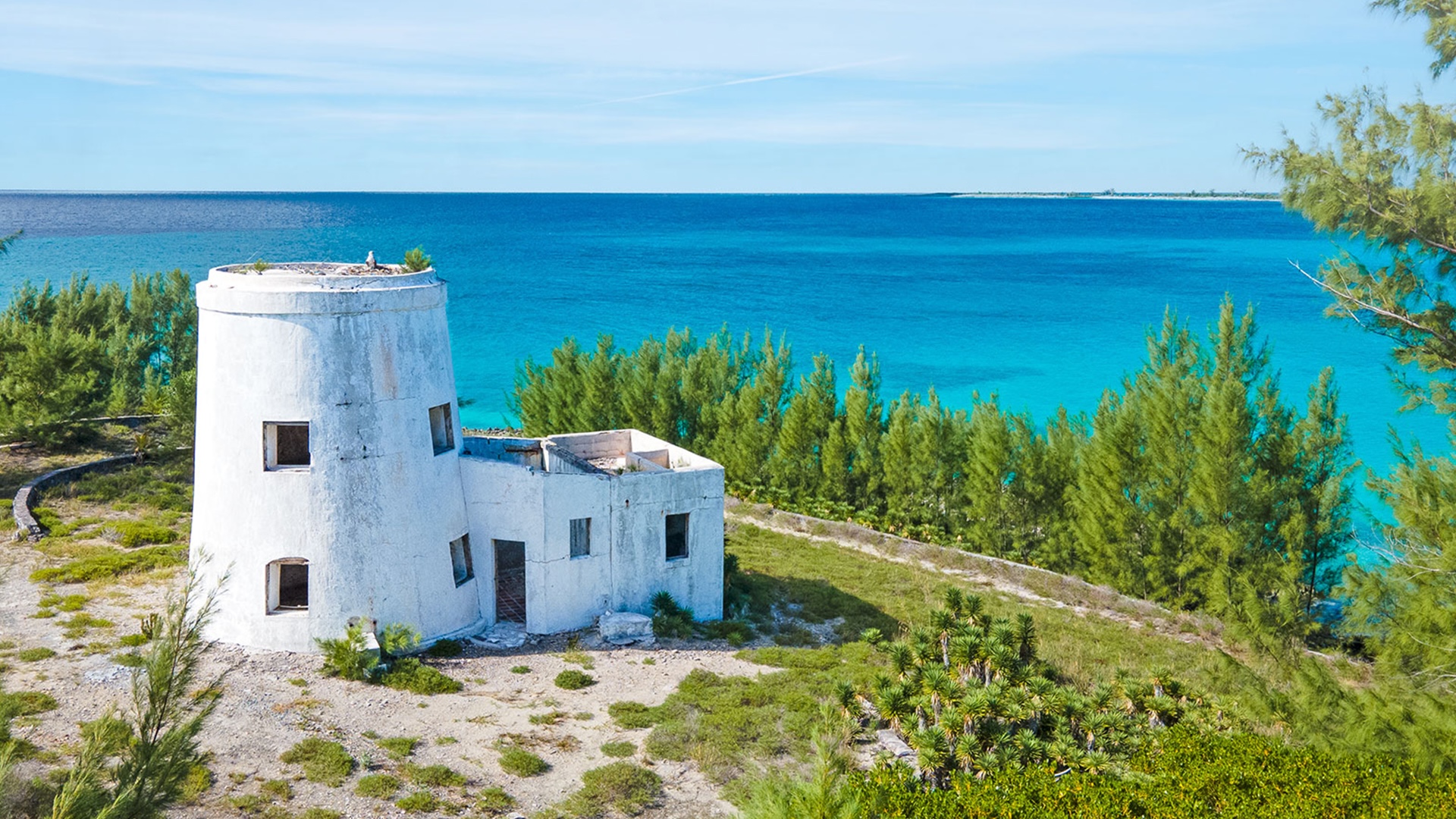 15 · Ashore
House by the sea
15 · Ashore
House by the sea 16 · Island life
Rhythms ashore
16 · Island life
Rhythms ashoreFour reasons to stay an extra day
Bimini rewards the captain who treats it as a destination rather than as a stopover. A short list of what the harbour and its waters tend to offer first-time crews.
Diving with Bimini's sharks
The reef-shark and hammerhead encounters off Bimini are among the most accessible in the Atlantic. Operators run morning trips from the harbour; the dives are shallow, the visibility extraordinary, and the experience tends to be the trip-defining hour for first-time crews.
The wreck of the Sapona
Half-buried in the shallows south of Bimini, the concrete-hulled SS Sapona has been a fixture of these waters since the 1920s. Snorkellers circle the upper hull at the surface; divers explore what remains of the lower frame. The Rainbow Reef nearby completes a half-day of easy underwater exploration.
A morning with wild dolphins
The pods that work the banks west of Bimini are habituated to small boats and curious by nature. Charter operators from the harbour will run the trip in the right conditions; the encounter is on the dolphins' terms, never the swimmers', and that is precisely the point.
An afternoon at the Big Game Club
Lunch at the dockside restaurant of the Big Game Club is the easiest version of Bimini ashore — relaxed seafood, a long view across the marina, and a flag-flying clientele of cruisers who arrived the same way you did. The newer Resorts World pool, a short walk north, is the alternative for an idle afternoon.