
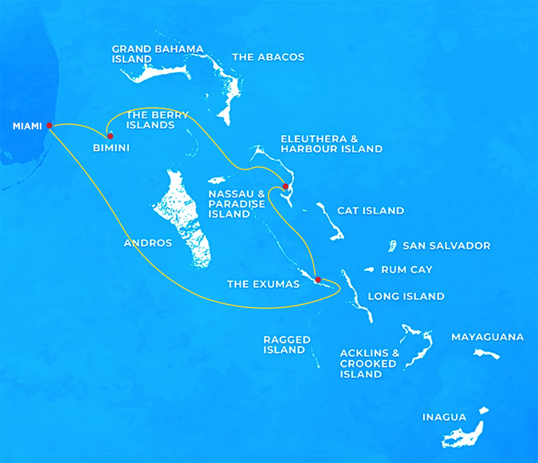
Twelve days, five crossings,
one return to Miami
From a small marina on the Florida side, the route describes a counter-clockwise circle that touches every register the Bahamas has to offer — bureaucratic, contemplative, scenic, technical and, on the way home, fast.
How a captain reads the dawn before each crossing
A simplified map of the question tree that runs, almost silently, in the head of the skipper at first light, before any line is cast off.
What is the wind doing in the next twelve hours?
The first question is direction, not strength. Any northerly component against the Gulf Stream — or against the prevailing easterlies in the Sound — produces seas that punish the schedule far more than the chart suggests.
Is a clean window present, or only a partial one?
A four-hour window into rising weather is not a window. The route keeps a back-up harbor in mind for every leg, and a captain who has already named it the night before makes the call at dawn without hesitation.
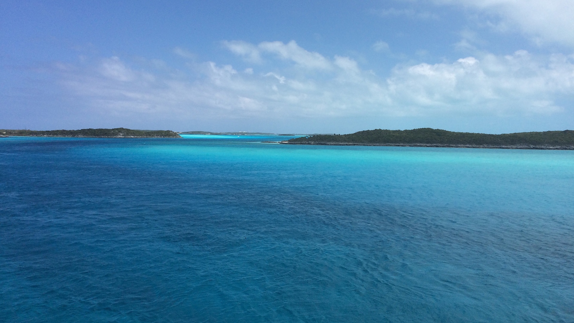
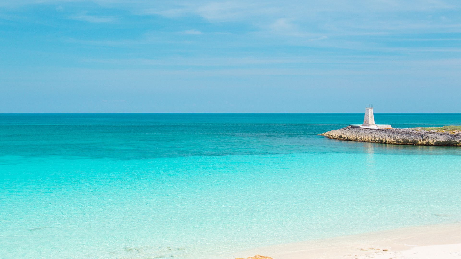
Does the route ahead require visual reading of the bottom?
The crossings into and out of the Exuma Bank, and any approach over the Yellow or White Banks, demand the sun high enough to throw shadows. Predawn departures fail this test; mid-morning departures pass it.
Hold in port.
Northerlies against current. The boat stays alongside, the day becomes a landed one, and the loop absorbs the delay because twelve days were planned with this kind of delay in mind.
Depart at first light.
Open-water passage, deep route, no coral on the approach. The crew is moving before breakfast, the tanks are full, and the boat clears the harbor while the lagoon is still glass.
Delay to mid-morning.
A clean window, but the route crosses banks dotted with coral heads. The captain waits until 09:30 or later — the sun comes up behind the boat, the heads cast shadow, the path through the bank reads as a chart written in water.
A working day-by-day,
written for the planning desk
Hours, distances and decisions for a representative twelve-day loop on a sixty-foot motor yacht. Conservative, not aggressive.
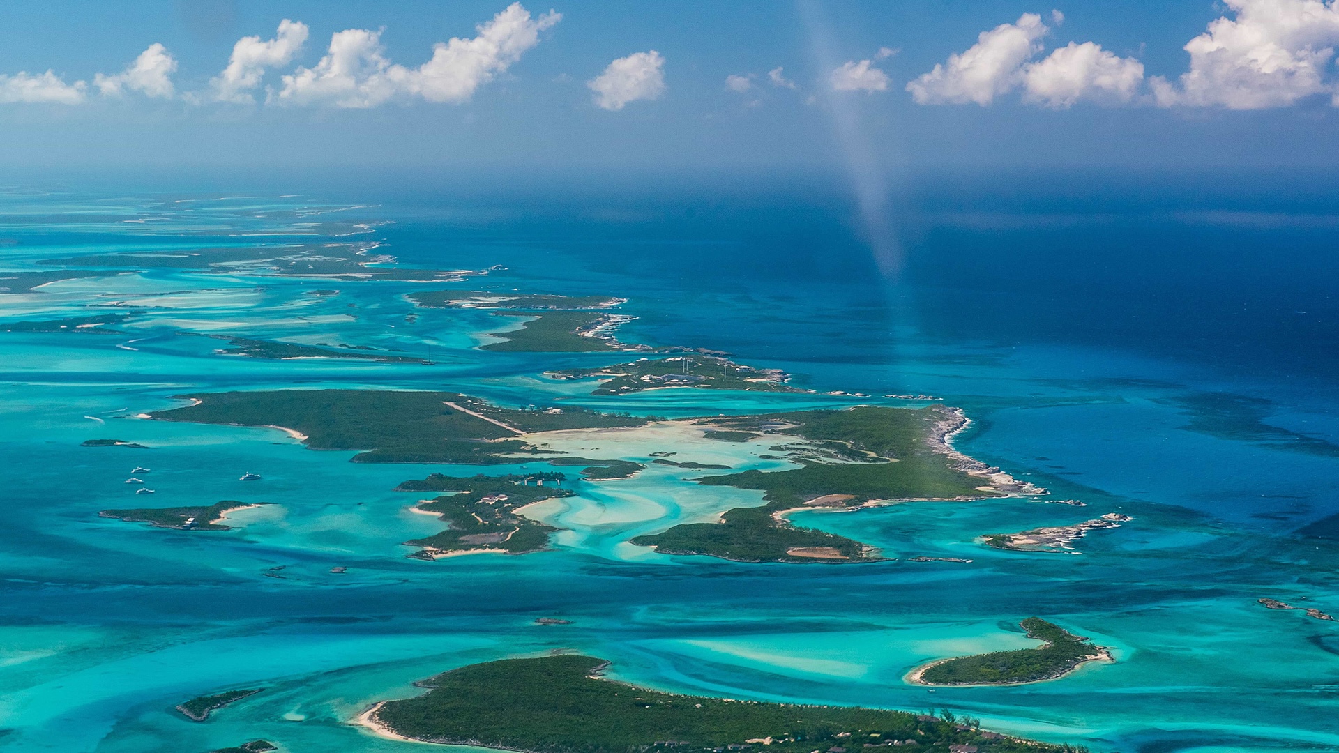
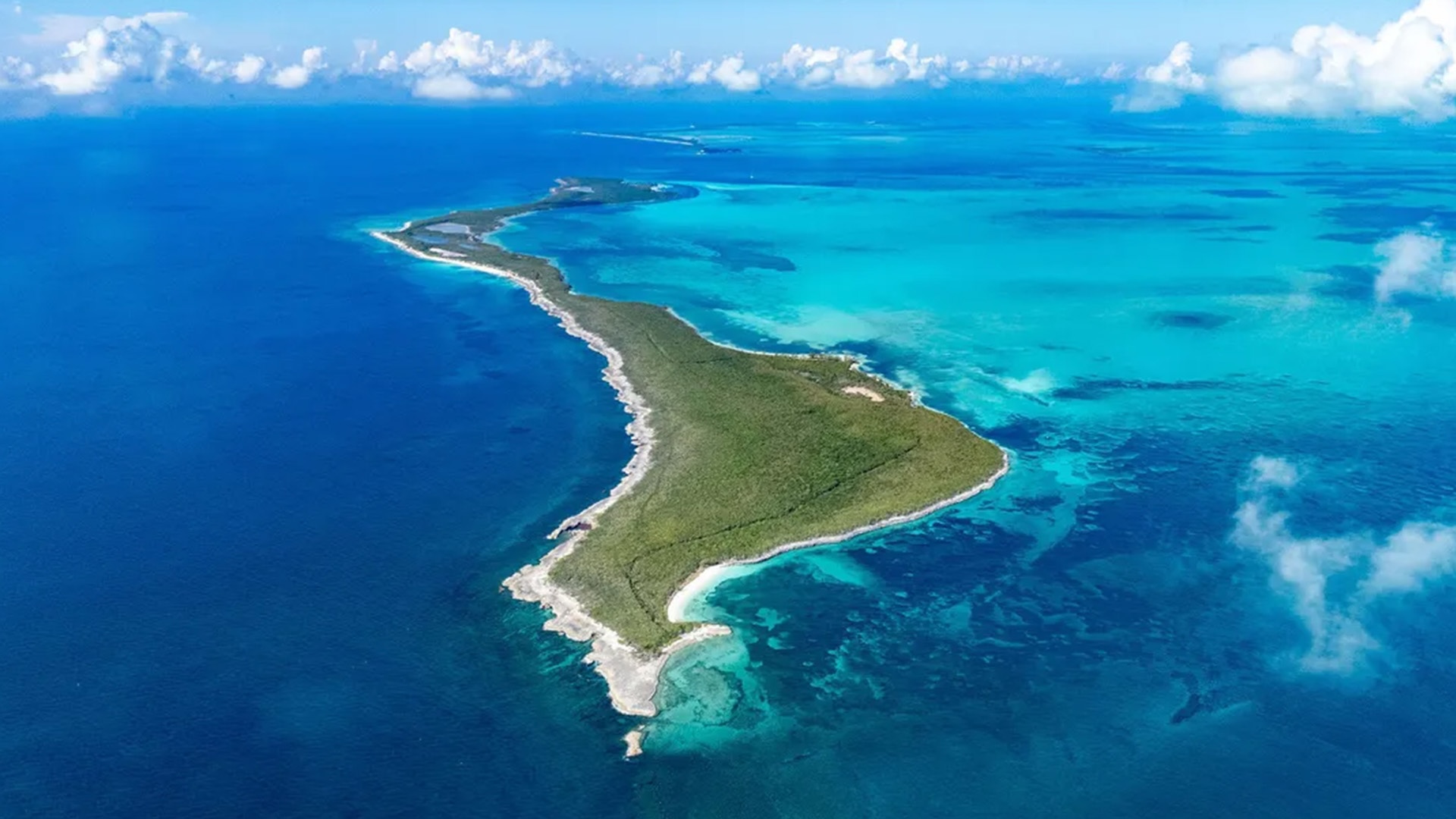
The island that changes vocabulary
every fifteen miles
Eleuthera is a long sliver of land — narrow enough that on certain afternoons one can stand on a single road and see two different oceans. The boat sees four.
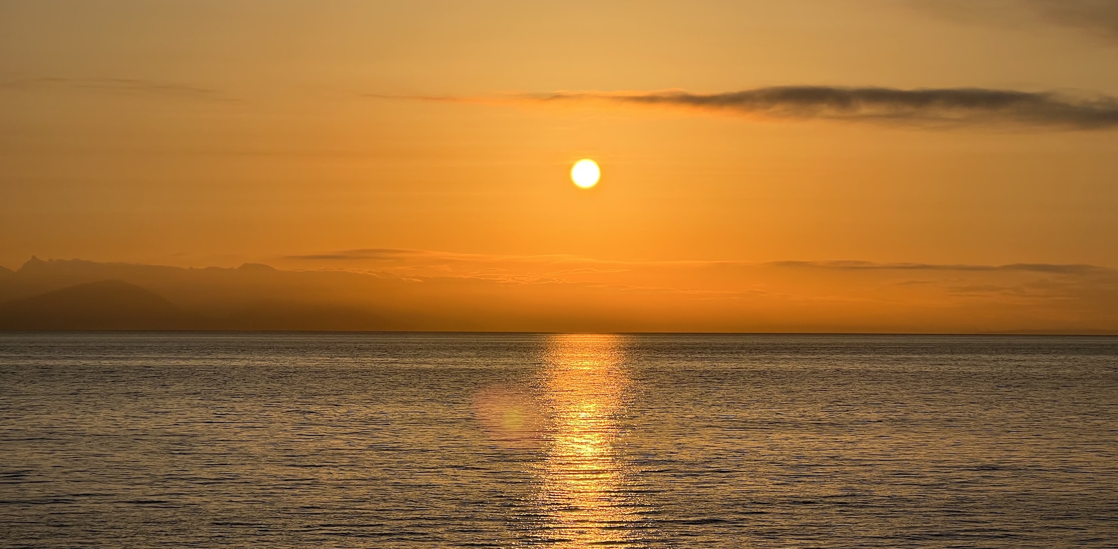
The first open-water sight
After a long Northeast Providence Channel passage, Eleuthera rises slowly on the bow as a low, narrow line. The water deepens to royal blue, the wind tends to lay down, and the silhouette of the island confirms what the chart promised hours earlier.
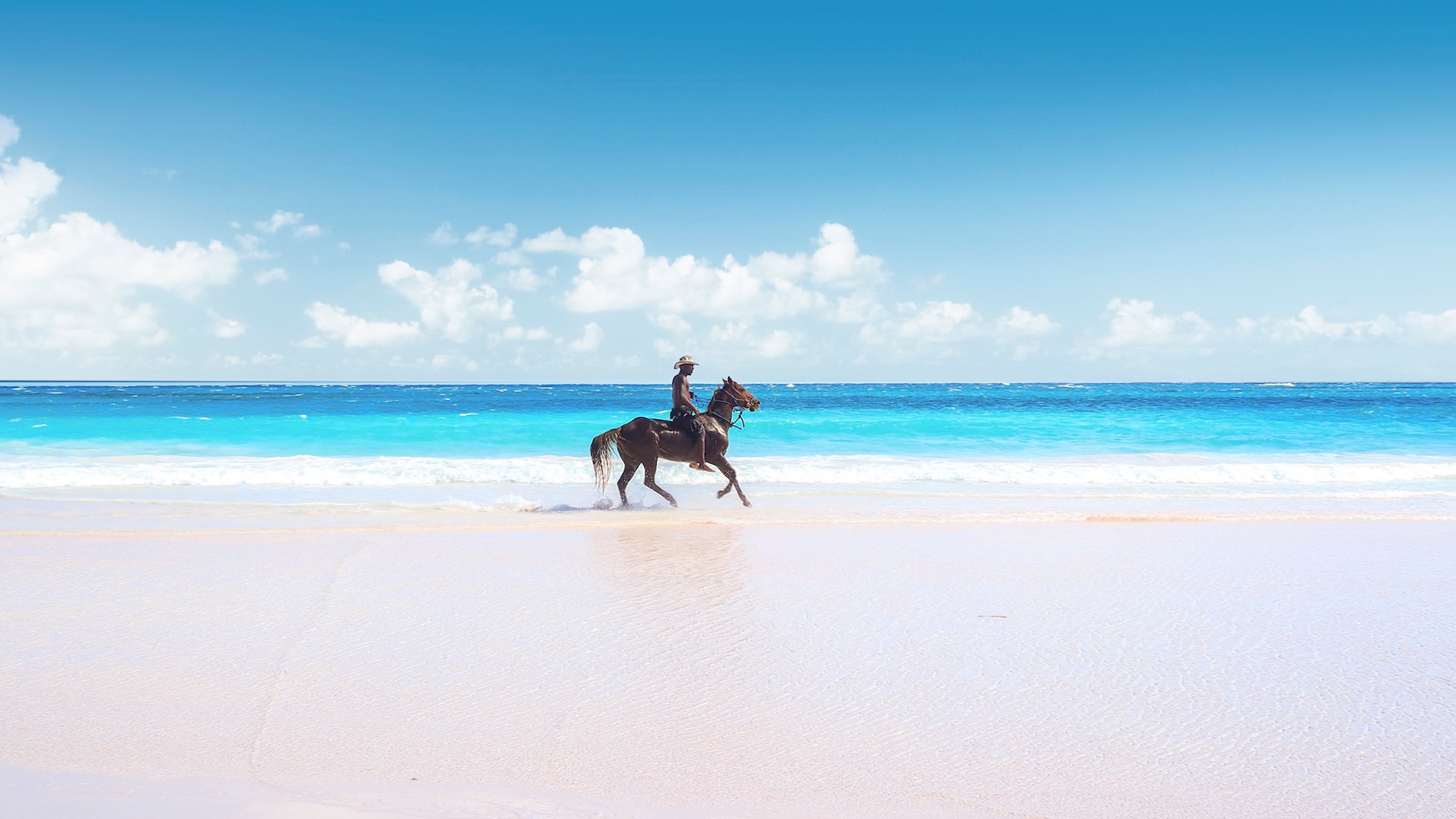
A beach worth the technical approach
Harbour Island's three-mile pink sand beach is reached only after a piloted passage through the Devil's Backbone reef. The technical price is real, and so is the reward: a stretch of coast that holds its color in person better than in any photograph.
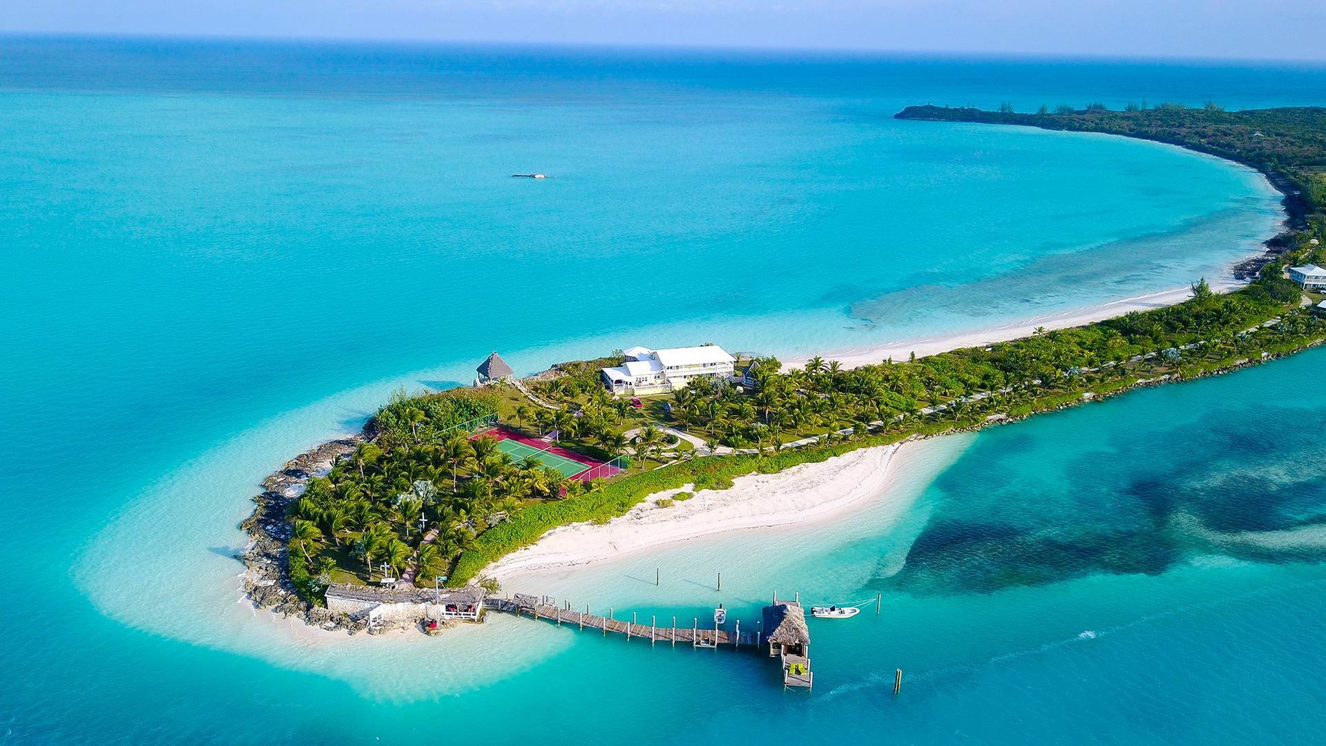
The architecture of quiet ownership
From the deck, the western shore of Eleuthera reads as a sequence of coves, low-built houses, and private docks announcing nothing. The island has been an address of preference for a long time, and the absence of signage is part of the language.
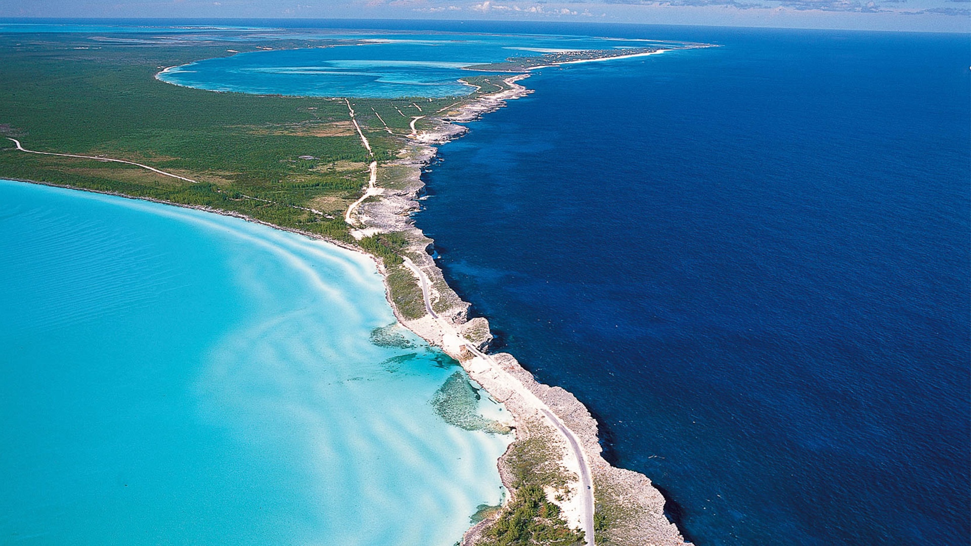
The island where the oceans differ
The Glass Window — a narrow rock bridge near the northern end — is the place where the Atlantic on one side and the Bight on the other sit so close that the contrast in color, depth and behavior is visible from a single viewpoint. The chart already says this. Standing there, the sentence reads differently.
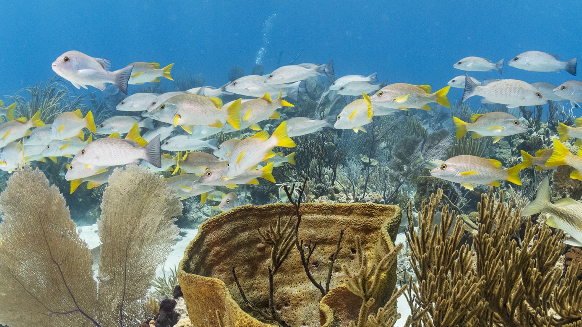
The color does not exaggerate
A five-frame scroll across the chain — the same water at five different hours, on five different days, doing what it does best when nobody is looking.

The right boat changes the question. Not can we cross, but when does the wind let us.
USA Onboard · EditorialWhy the circle beats
the straight line
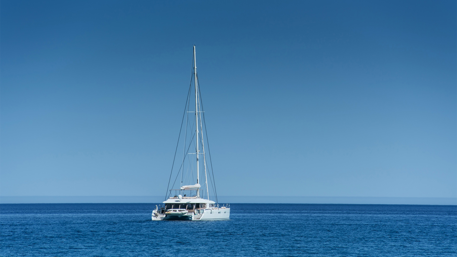
There is a temptation, on a fast yacht with a clean forecast, to read the chart as a single arrow: Miami to the Exumas, two-hundred-odd nautical miles east-southeast, one very long day, no stops. The geometry permits it. The seamanship rarely does. The Bahamas does not reward shortcuts; it rewards plans that already accept where the boat will not be on a given afternoon.
The five-leg loop spends slightly more fuel and slightly more time on the water than the direct dash, and gains, in exchange, three things the straight line cannot offer. It begins inside the customs system rather than scrambling to clear in at a remote port. It distributes weather risk across five short windows instead of betting the entire trip on one long one. And it lets the crew arrive at the most photographed water in the western Atlantic — the Exuma chain — already adjusted to local time, local water, and the specific dialogue between a sixty-foot boat and a four-foot bank.
What follows is the comparison set out plainly. Two trips, the same boat, the same week, two very different sets of memories on the way home.
Two ways to spend twelve days
in the Bahamas
A comparative ledger, kept honestly. What the direct crossing promises, and what the circular route actually delivers.
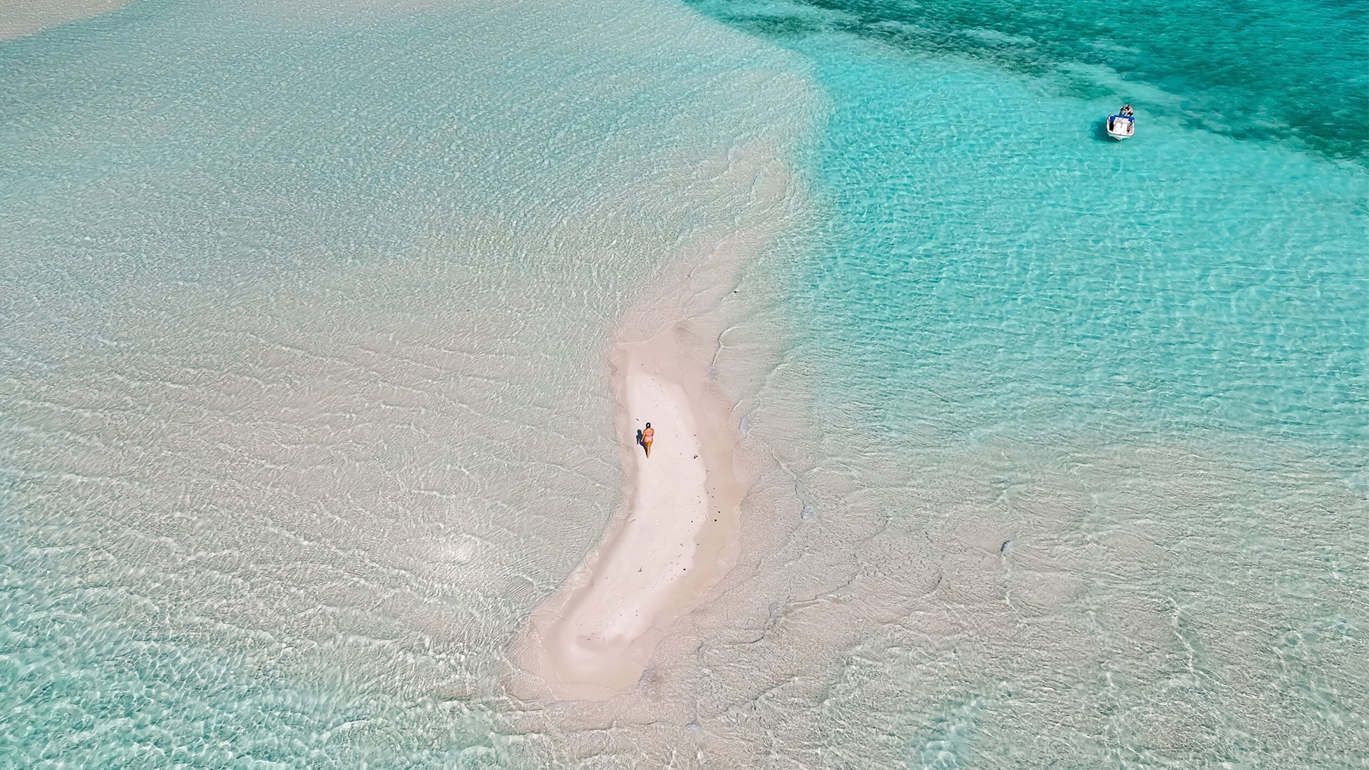
The chain in five more frames
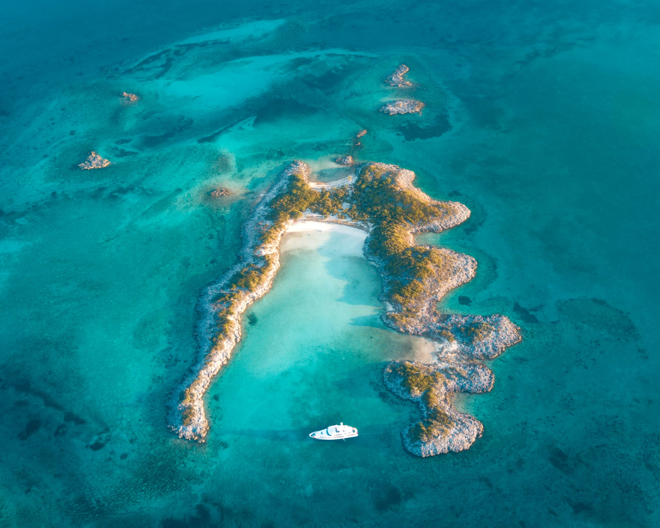
Beyond the postcard images, the Exumas hold scenes that move differently — a grotto only reachable at slack tide, a sandbar that exists for ninety minutes a day, a beach that has, by accident, become world-famous for its pigs.


The Berry Islands, found by accident
Most loops collapse the Berrys into a fuel stop. The route on these pages keeps a full day there, and treats the islands as the trip's restorative pause before the long run home.
The Berrys do not announce themselves. The chain reads, on a chart, as a string of small cays north of New Providence — Great Harbour Cay, Chub Cay, Little Stirrup, Bond's Cay — most of them uninhabited, none of them photographed often, none of them on the standard Bahamas itinerary that flies from Miami to Nassau and ends in the Exumas. They are precisely what is missing from that itinerary.
The marina at Great Harbour Cay sits inside an enclosed natural basin, accessed through a marked cut. Inside, the holding is excellent and the swell forgets the boat exists. Ashore, the settlement is small enough to walk in an afternoon, and the beaches that ring the cay are the kind that show no footprints by sunrise. After eight days of weather watching, customs, cuts and coral, the Berrys offer a rare permission slip: do nothing in particular.
The strategic value is real as well. Great Harbour Cay places the boat roughly 150 nautical miles from Miami, with the Northwest Providence Channel as a clean deep-water route home. The final leg of the loop departs from a marina that has rested its crew, topped its tanks and read its forecast carefully — the right state in which to begin a Gulf Stream crossing.
What the loop asks before departure
Three columns, in three registers — physical on the boat, digital in the hand, mental in the captain's head. None of them is optional, and none of them is improvised on the day it is needed.
A trip planned as a single dash arrives at one place. A trip planned as a loop arrives at five. The first kind is a passage; the second is a cruise. The Bahamas, more than most archipelagos, is built to reward the second.
USA Onboard · The Bahamas Loop