



Phone
or Plotter?
GPS has changed the way we find our way on land and at sea. On a boat, the question is practical: is the GPS in your phone enough, or do you need a marine unit built into the helm?
Almost every boater now carries a capable navigation device in a pocket. Whether it should be the main one is another matter.
Both options have real strengths, and the right answer depends on the boat, the waters and the kind of trips you make. A marine GPS is designed specifically for navigation at sea: it reports position, speed and heading, and can display data such as depth and water temperature. A smartphone offers convenience and a lower cost of entry.
Here is how the two compare, and where each one makes sense.
Smartphone navigation starts in your pocket
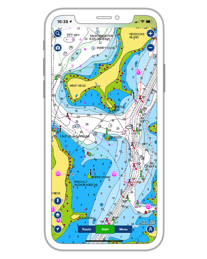
The phone's great advantage is convenience. Most boaters already have one close at hand, and navigation apps such as Navionics open in seconds and show your position in real time, which is helpful in unfamiliar waters. Many apps also add weather and current information that can help plan a trip and avoid hazards.
Cost is the other argument. A smartphone and an app usually represent a much smaller outlay than a dedicated marine unit, and for occasional boating in protected waters, that can be enough.
Not built for the sea
Phones are not designed for marine use. Their water resistance has limits, and salt, spray and heat take a toll that a marine unit is built to withstand. Battery life becomes a concern on a long day.
Coverage matters too. Offshore and in remote areas, cell service often disappears, and with it anything that depends on a data connection, such as downloading charts or updating the weather. Charts should be saved to the device before leaving the dock.
The best navigation system is the one that still works when everything else has stopped.
USA Onboard EditorialBuilt for the helm, built for the sea
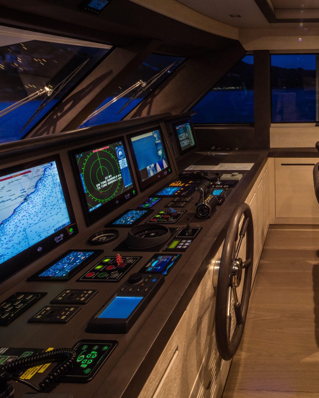
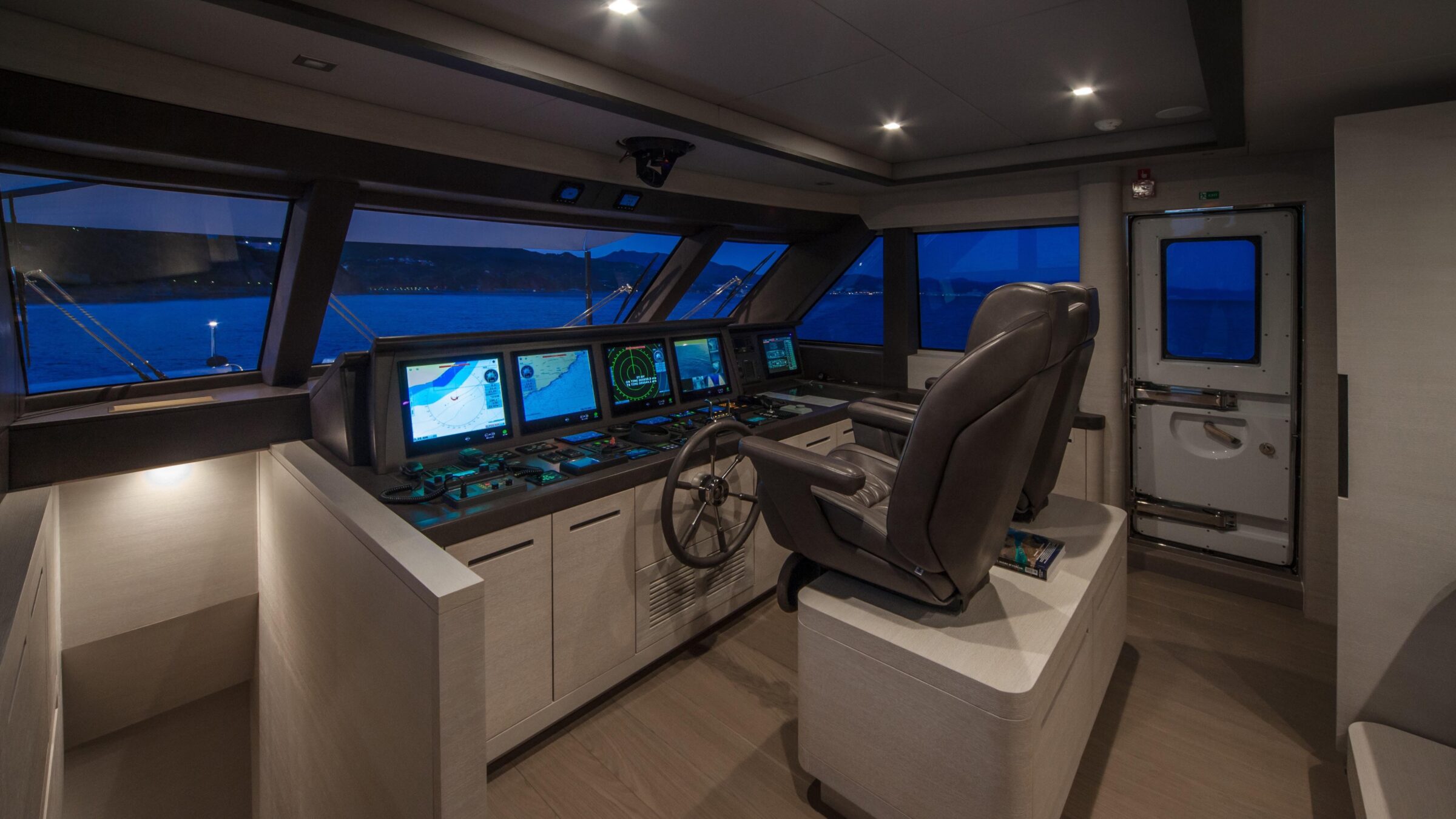
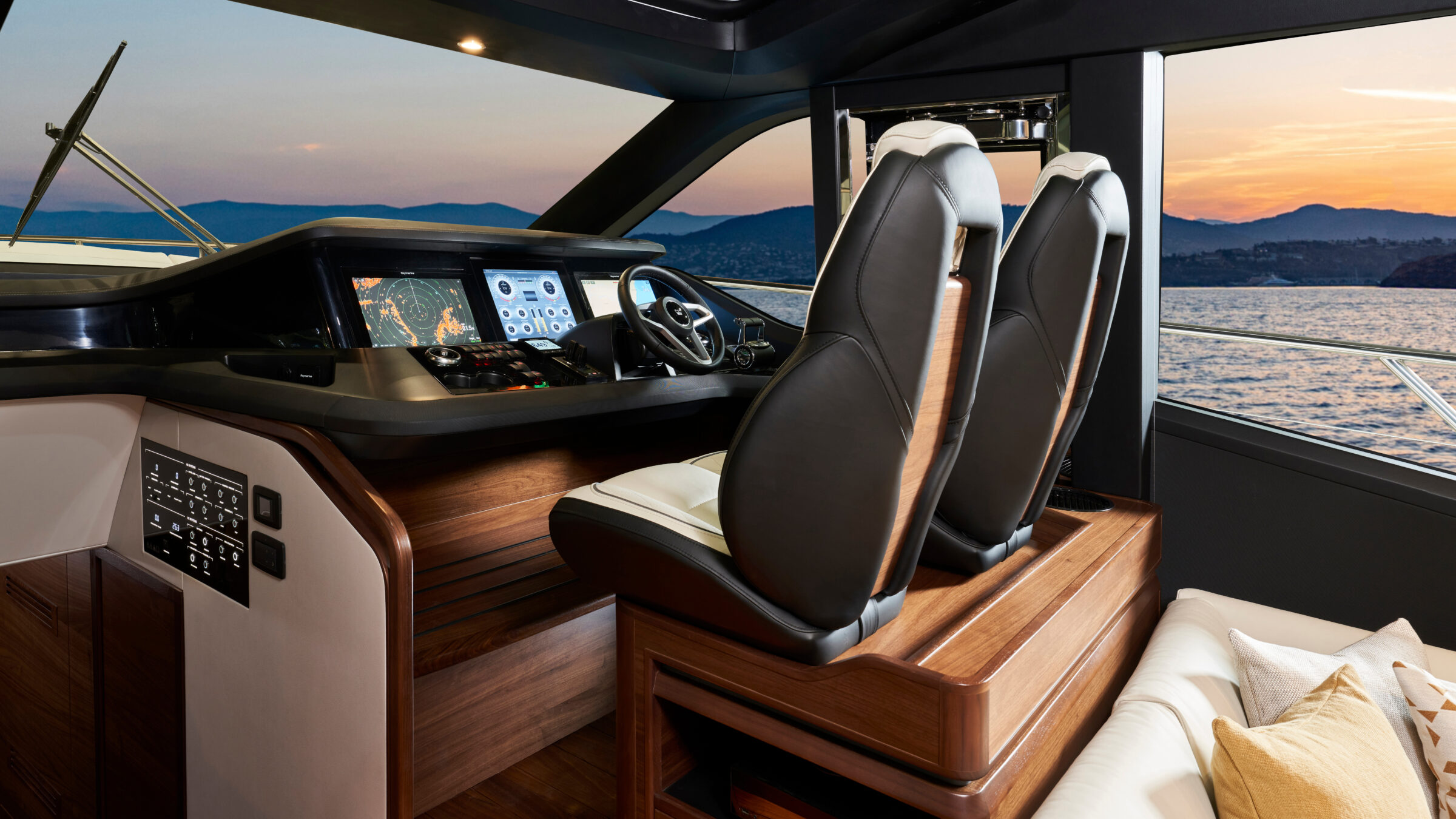
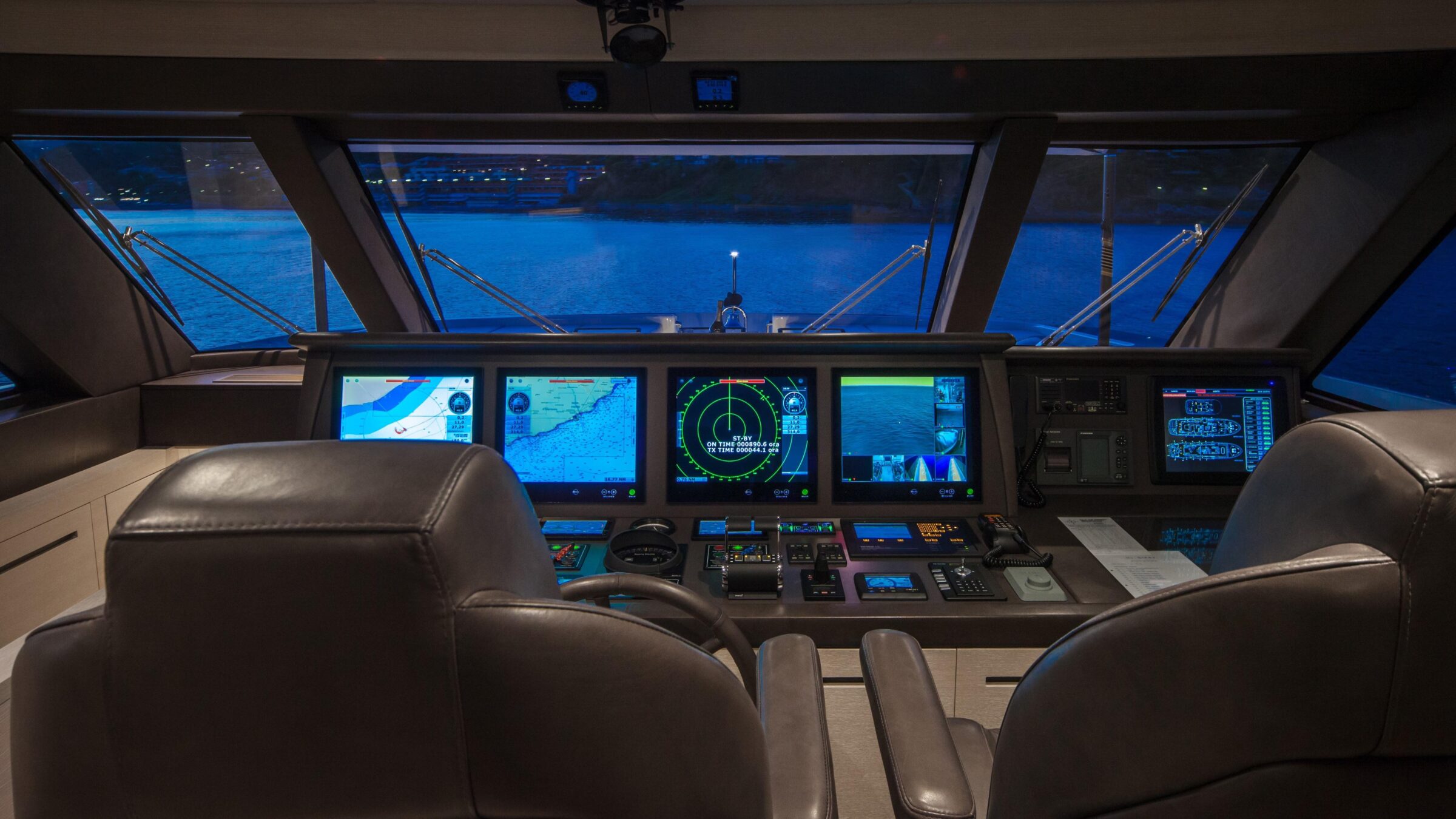
Marine GPS units, whether portable or fixed, are designed specifically for boats and built to withstand harsh conditions, including salt water and temperature extremes.
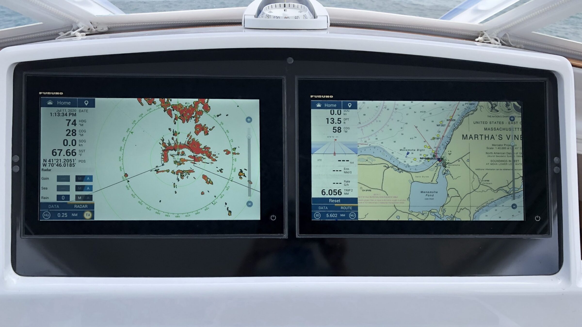
They are made to deliver navigation information reliably, with position, speed and heading always on screen at the helm, where the skipper needs them.
Many add depth sounders and fish finders, and can bring several data sources together on a single display, an advantage for anglers and cruisers alike.
An investment, not an app
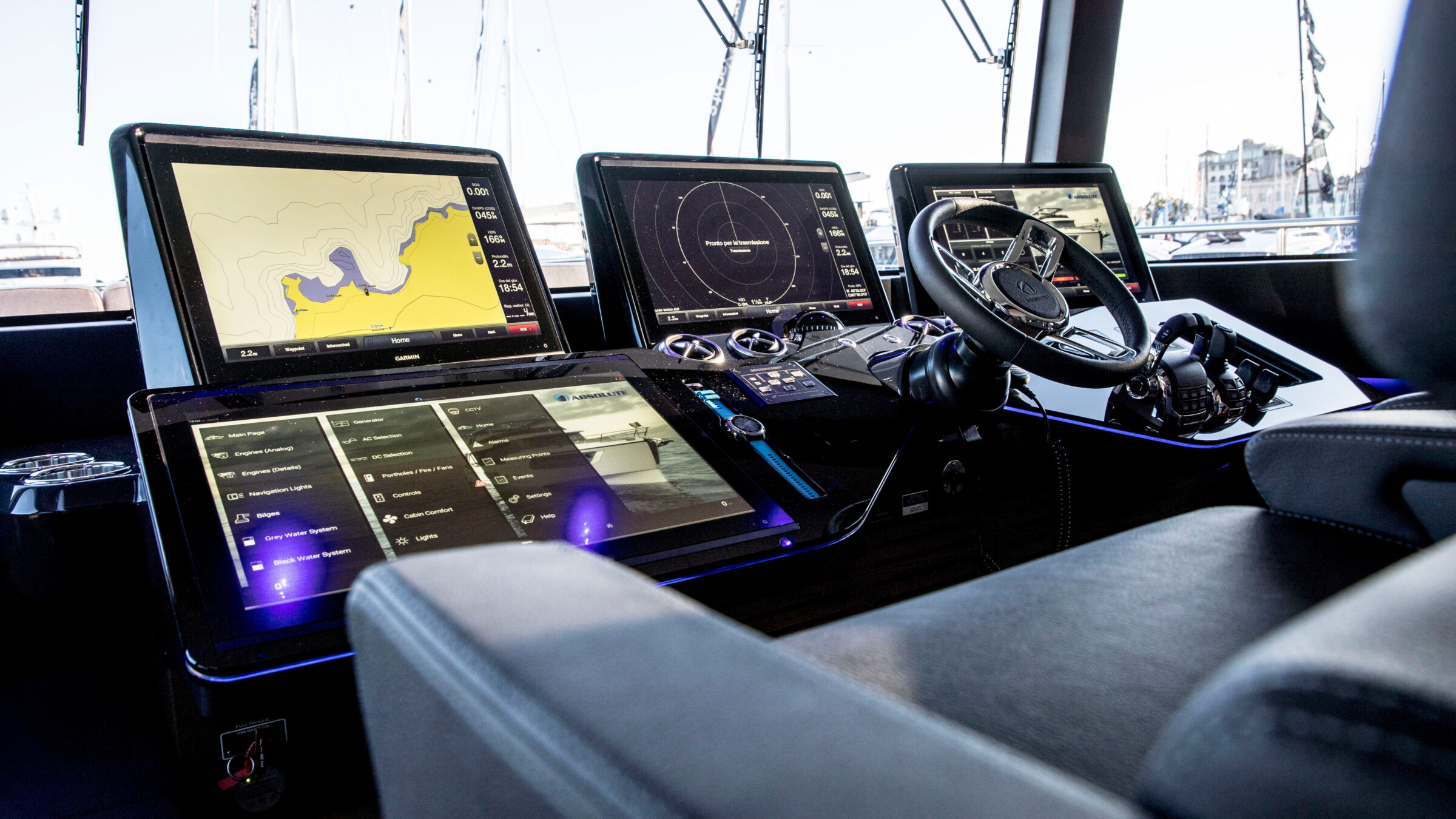
A dedicated system asks for more. Marine units can be expensive and usually call for professional installation, which adds to the cost.
Depending on the setup, they may also require additional equipment, such as a chartplotter or transducers, to deliver their full range of functions.
Should you navigate with a phone or a marine GPS?
It depends on how you use the boat. For short trips in familiar, protected waters, a smartphone with a good navigation app and charts stored on the device can do the job. For longer passages, offshore runs or night navigation, a marine unit's durability and integration with the boat's other systems carry real weight.
Many boaters end up using both: the marine system as the primary tool at the helm, and the phone as a ready backup. Whatever the choice, the essential point is the same: have a reliable navigation system before you leave the dock.
At a glance
Two screens, one goal
A smartphone is convenient and affordable, but it is less rugged and was never designed for life at sea. A marine GPS is durable and built for the job, but it costs more and may need additional equipment. Weigh your boating style and budget, and choose accordingly. The water is no place to discover that your only screen has gone dark.
A phone in the pocket and a plotter at the helm: the surest way to know where you are is not to depend on a single screen.