



Understanding the Weather
Every sailor knows the weather can turn a safe, easy passage into something dangerous. Checking conditions for the cruising area, and the forecast for the hours a crossing will take, is not optional. But can a captain do more than read a forecast?
You do not need a degree in meteorology to read the sky. But understanding why the weather behaves as it does turns a forecast from a figure you glance at into a story you can follow, and sometimes into a warning you catch before the forecast has caught up.
There are more ways than ever to pull a forecast, yet at sea it tends to be checked less often than it should be. A good habit on passage is to look at conditions every few hours; in practice, connection gaps and simple forgetfulness get in the way. A little understanding closes that gap, because the sky and the barometer keep reporting even when the phone does not.
Three variables sit behind almost everything: temperature, humidity and pressure. On their own, none of them decides whether a day is fit for sailing. It is their combinations that build the conditions worth avoiding. Fog and rain cut visibility, and modern electronics handle that better than they once did. The oldest threat is still the one that matters most: a sudden, sharp rise in wind, because wind is what builds the sea.
Wind is air moving from high pressure toward low pressure across the same broad region at the same moment. The sun heats land, ocean and air unevenly; that uneven heating creates the differences in pressure, and those differences set the air in motion. Know where a low is going to sit, and how deep it is, and you can say a great deal about how hard it will blow, and where. Reading that, and being ready to act on it, is a discipline of its own, one we explore in The Art of Changing Course Gracefully.
What the water tells you
The boat, its crew and its guests are the captain's responsibility. Knowledge is what turns a hard day into a decision instead of a surprise.
USA Onboard Editorial
The first sign is rarely the forecast
Leave the dock on a promised calm and the day can still change its mind. The wind that matters most is the one nobody sent a message about: the sudden rise that steepens the sea while the phone still shows fair weather. Two things let a captain see it coming. One sits on the bulkhead. The other is broadcast, for free, before every serious blow.
The barometer, the invisible warning
Of the forces behind the weather, pressure is the one we cannot feel. We notice temperature, rain and wind directly; the rise and fall of the barometer passes unseen, which is exactly why an instrument on board earns its place. On a passage of several hours, log the trend every three hours or so: whether pressure is falling, holding steady or rising.
That trend tracks the movement of air. Falling pressure tends to go with cloud building and freshening wind; rising pressure with clearing skies and easing wind. What matters is the rate: how fast the needle moves is a fair measure of how fast the wind and the sea will follow. A sharp drop is the cue to pull the latest forecast and watch for official alerts.
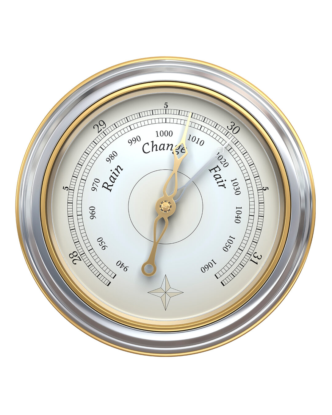 The barometer aboard
The marine warnings
From advisory to hurricane force
The most important marine forecasts and warnings come from the National Weather Service (NWS), part of NOAA. Its wind warnings climb in four steps, measured in knots of sustained wind.
The lowest tier. Issued for sustained winds or frequent gusts, and often for seas alone. The lower wind trigger and the wave height that sets it off vary by NWS region, from roughly 18 to 25 knots and seas of about 4 feet on some coasts to 10 feet or more on the Pacific. Know the criterion your local office uses: the same advisory can mean very different water.
Sustained winds or frequent gusts in this band. For a recreational boat this is no longer a question of comfort but of judgment.
Conditions well beyond what most crews and craft should choose to meet. The sensible response is to be elsewhere.
The top of the scale. There is nothing to weigh here. The only answer is to reach shelter in the least time possible.
Wave thresholds are given as significant wave height: the average height of the highest one-third of the waves. Warnings speak in sustained winds, averaged over a minute or more; brief gusts can run higher, and hit hard, even when they add little to the height of the sea. Definitions and thresholds: NWS / NOAA.
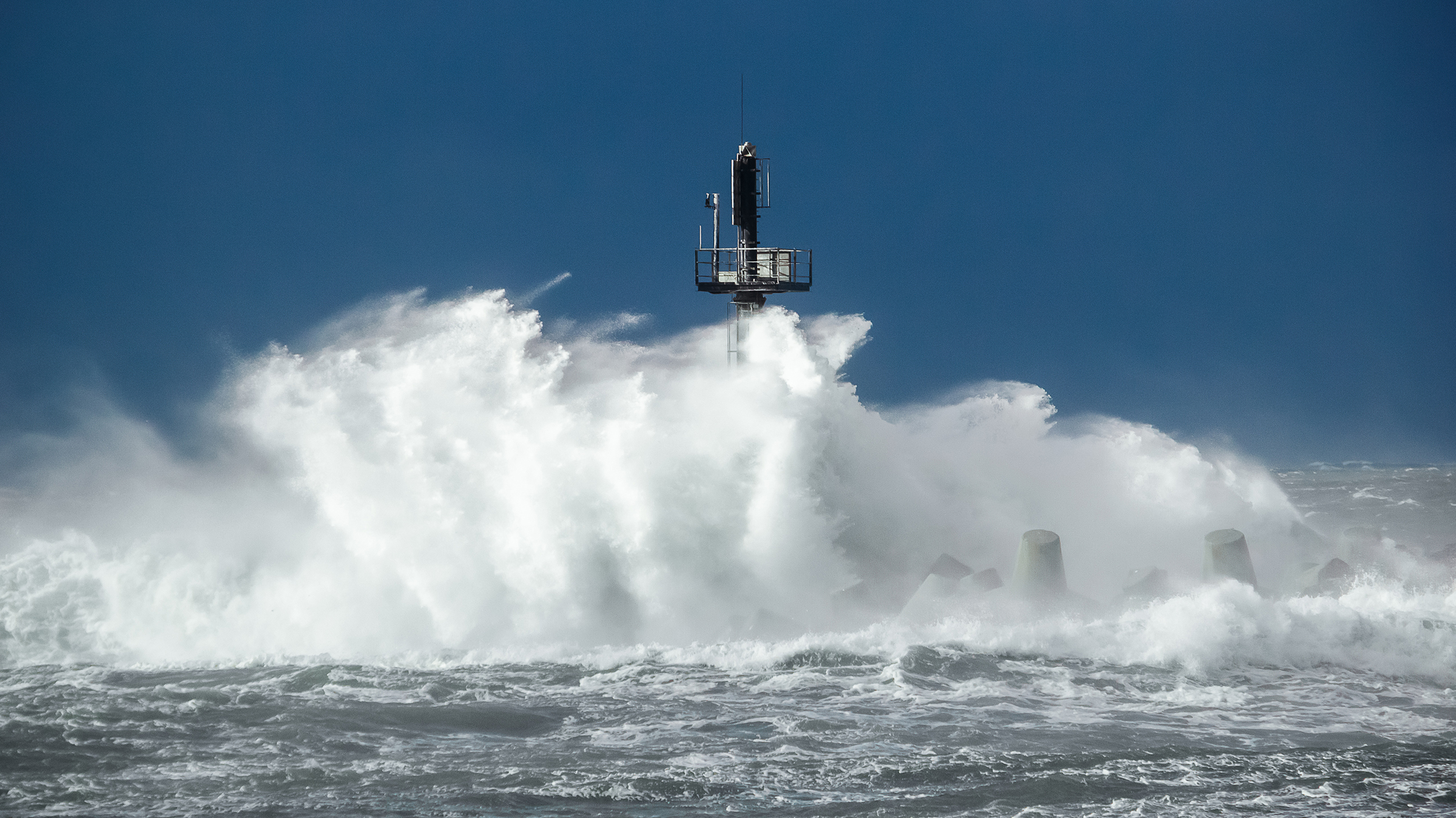 The force of the sea at the harbour mouth
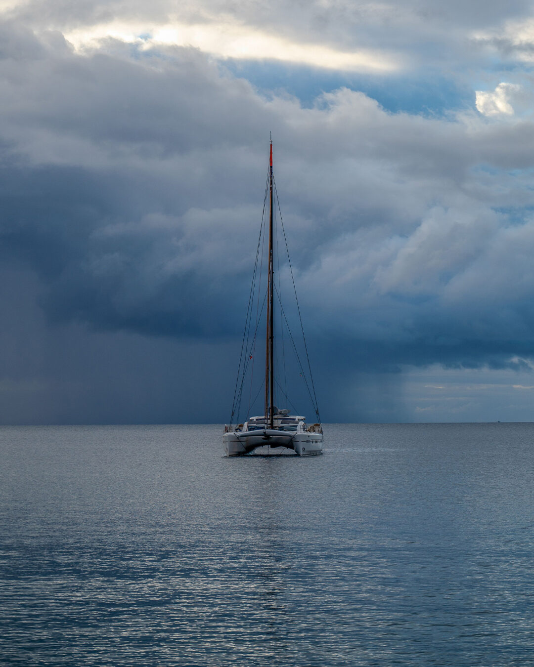 Anchor and wait
Reading is only half of it
Seeing the change is the first half. Acting on it is the second. A falling barometer, a hardening sky, an advisory that has crept up a tier: each is an invitation to shorten the day, change the anchorage, or simply wait. None of that is a failure of planning. It is planning working as intended.
Sailing is full of unforgettable hours. It also carries responsibility, and the boat, its crew and its guests answer to the captain. The more a captain understands, the better the call, and the wider the margin between a day that is merely uncomfortable and one that turns dangerous.
USA Onboard Editorial
Image credits
Daniel Lerman · Marian Sol Miranda · Nui Malama · Tasha Whitegold · William Zali · Racim Amr